 POC 3.12
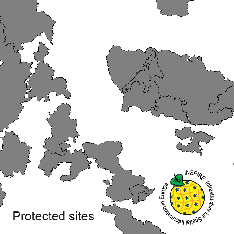
INSPIRE Protected Sites ATKIS-DLM250
Protected Sites of Germany, derived from the german digital landscape model at scale 1:250000. Mapped via EuroRegionalMap to satisfy INSPIRE and European Location Framework conformance. The dataset is available as Open Data.
INSPIRE
Identification
- File identifier
- 3F8CC55E-0C19-494E-94B8-C966D8441B70 XML
- Hierarchy level
- Dataset
Online resource
Resource identifier
- Metadata language
- Deutsch
- Spatial representation type
- Vector
Encoding
- Format
-
GML
- Version
-
3.2
Projection
Classification of data and services
- Topic category
-
- Environment
Classification of data and services
Coupled resource
Coupled resource
Classification of data and services
Coupled resource
Coupled resource
Keywords
-
GEMET - INSPIRE themes, version 1.0
-
-
Protected sites
-
-
GEMET - Concepts, version 3.1
-
-
national park
-
protected landscape
-
Other keywords
- Keywords
-
-
inspireidentifiziert
-
- Keywords
-
-
opendata
-
- Keywords
-
-
AdVMIS
-
Geographic coverage
))
Temporal reference
Temporal extent
Temporal extent
- Date (Creation)
- 2017-09-06T00:00:00.000+02:00
Quality and validity
- Lineage
-
derived from german topographic database 1:250 000
- Denominator
- 250000
Conformity
Conformity
Conformity
Conformity
Conformity
Conformity
- Explanation
-
see the referenced specification
- Explanation
-
see the referenced specification
Restrictions on access and use
- Access constraints
- no limitations to public access
- Access constraints
-
This data may be used without restriction and free of charge pursuant to the Ordinance for the Establishment of the Conditions of Use regarding the Provision of Federal Spatial Data (Verordnung zur Festlegung der Nutzungsbestimmungen für die Bereitstellung von Geodaten des Bundes – GeoNutzV) as published on March 19, 2013 (Bundesgesetzblatt Jahrgang 2013 Teil I Nr. 14). For more details see: https://sg.geodatenzentrum.de/web_public/gdz/lizenz/eng/geonutzv.pdf. Please include the required reference to the source when using the data.
- Access constraints
-
Quellenvermerk: © GeoBasis-DE / BKG (year of last data download)
- Access constraints
-
{"id":"geoNutz/20130319","name":"Nutzungsbestimmungen für die Bereitstellung von Geodaten des Bundes","url":" https://sg.geodatenzentrum.de/web_public/gdz/lizenz/geonutzv.pdf","quelle":"© GeoBasis-DE / BKG (year of last data download)"}
Responsible organization (s)
Contact for the resource
- Organisation name
-
Federal Agency for Cartography and Geodesy
-
dlz@bkg.bund.de dlz@bkg.bun dlz@bkg.bund.de
- Organisation name
-
Federal Agency for Cartography and Geodesy
-
mailbox@bkg.bund.de mailbox@bkg.bun mailbox@bkg.bund.de
- Organisation name
-
Federal Agency for Cartography and Geodesy
-
dlz@bkg.bund.de dlz@bkg.bun dlz@bkg.bund.de
Metadata information
Contact for the metadata
- Organisation name
-
Federal Agency for Cartography and Geodesy
-
dlz@bkg.bund.de dlz@bkg.bun dlz@bkg.bund.de
- Date stamp
- 2023-11-22
- Metadata language
- English
- Character set
- UTF8
SDS
Conformance class 1: invocable
Access Point URL
Endpoint URL
Technical specification
Conformance class 2: interoperable
Access constraints
Limitation
Use constraints
Limitation
Responsible custodian
Contact for the resource
Overviews
Spatial extent
Provided by
