 INSPIRE-1
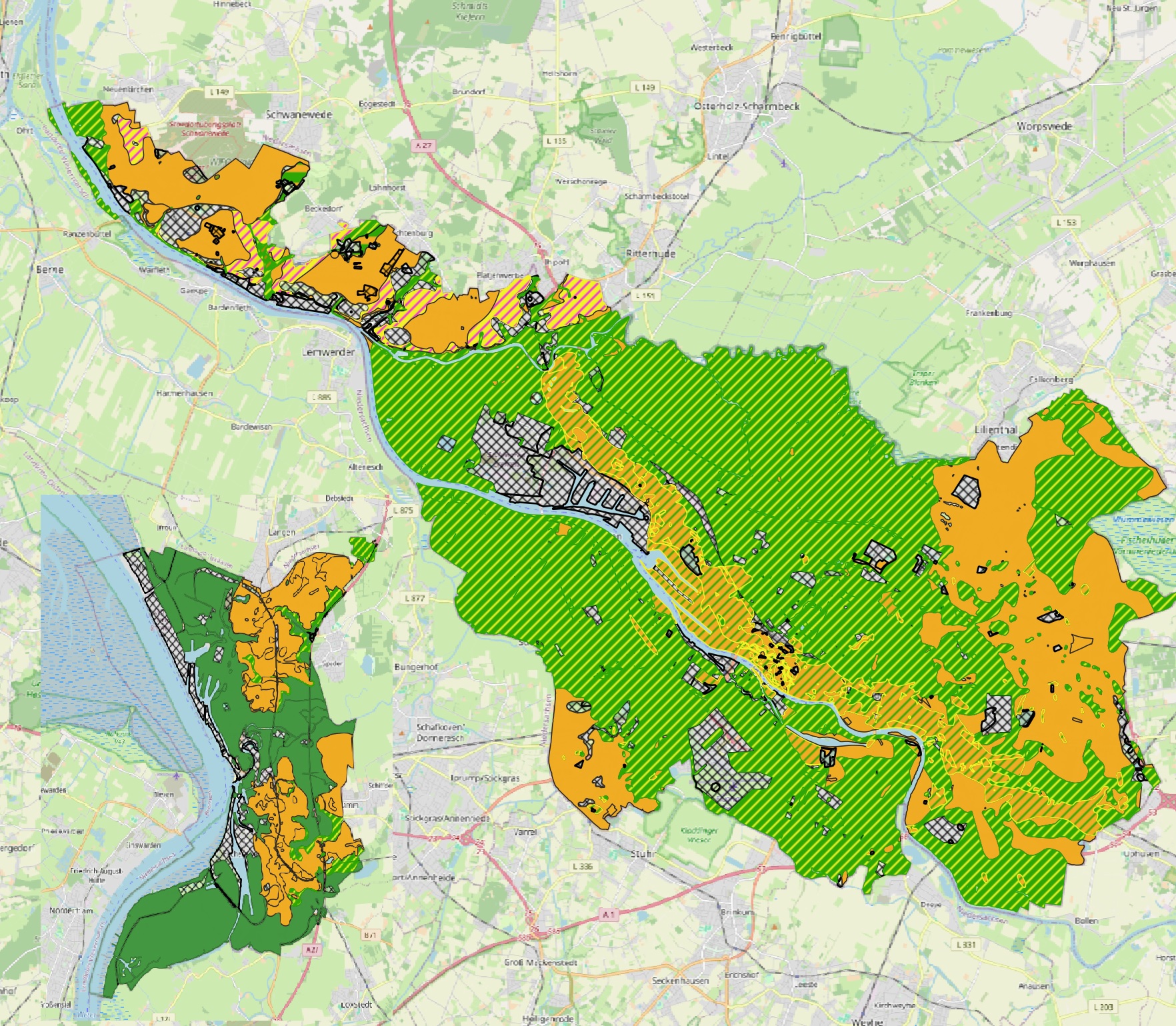
Baugrundkarte des Landes Bremen 1:10.000
Die Baugrundkarte Bremen und die Geotechnische Planungskarte Bremerhaven werden gemeinsam bereitgestellt.
Die Baugrundkarte Bremen (1980) wurde auf der Grundlage der Geologie Bremens 1980 erstellt und gibt die geologischen Verhältnisse an der Oberfläche unter Berücksichtigung Baugrundtechnischer Parameter wieder (Tragfähigkeit, Setzungsempfindlichkeit).
Die Baugrundkarte Bremen wurde teilweise überarbeitet. Status: nicht abgeschlossen.
|
|
Citation proposal
Landesamt GeoInformation Bremen. Baugrundkarte des Landes Bremen 1:10.000. http://gdk-inspire-1.ffm.gdi-de.org/geonetwork/srv/api/records/E6B304E7-7520-4C14-A455-8844EDA3FE2D |
INSPIRE
Identification
- File identifier
- E6B304E7-7520-4C14-A455-8844EDA3FE2D XML
- Hierarchy level
- dataset Dataset
Online resource
Resource identifier
- Metadata language
- German
- Spatial representation type
- Vector
Encoding
- Format
- Shapefiles
Projection
Classification of data and services
- Topic category
-
- Geoscientific information
Classification of data and services
Coupled resource
Coupled resource
Classification of data and services
Coupled resource
Coupled resource
Keywords
- GEMET - INSPIRE themes, version 1.0 ( Theme )
-
- Geologie
- Spatial scope
- UMTHES Thesaurus ( Theme )
Other keywords
- Keywords
-
- Baugrundkarte
- Setzungsempfindlichkeit
- Baugrund
- Baugrundklassen
- Bauen
- Geologie
- Keywords
-
- inspireidentifiziert
Geographic coverage
N
S
E
W
))
Temporal reference
Temporal extent
Temporal extent
- Date ( Creation )
- 1980-12-01T00:00:00.000+01:00
- Date ( Revision )
- 2024-06-01T00:00:00.000+02:00
Quality and validity
- Lineage
- Baugrundkarte der freien Hansestadt Bremen (Ortlam & Schnier, 1980), Grundwasser- und Geotechnische Planungskarte BHV (Fritz et al. 2003)
- Denominator
- 10000
Conformity
Conformity
Conformity
Conformity
Conformity
Conformity
- Explanation
- see the referenced specification
Restrictions on access and use
- Access constraints
- Creative Commons Namensnennung (CC-BY)
- Access constraints
- Quellenvermerk: Baugrundkarte Bremen (2010). D. Ortlam & H. Schnier, Senator für Bauwesen- Kataster- und Vermessungsverwaltung Bremen
- Access constraints
- {"id":"cc-by","name":"Creative Commons Namensnennung (CC-BY)","url":"https://www.opendefinition.org/licenses/cc-by","quelle":"Baugrundkarte Bremen (2010). D. Ortlam & H. Schnier, Senator für Bauwesen- Kataster- und Vermessungsverwaltung Bremen"}
Restrictions on access and use
Responsible organization (s)
Contact for the resource
- Organisation name
- Geologischer Dienst für Bremen
- info@gdfb.de
- Organisation name
- Landesamt GeoInformation Bremen
Responsible organization (s)
Contact for the resource
- Organisation name
- Geologischer Dienst für Bremen
- info@gdfb.de
- Organisation name
- Landesamt GeoInformation Bremen
Metadata information
Contact for the metadata
- Organisation name
- Geologischer Dienst für Bremen
- info@gdfb.de
- Date stamp
- 2024-10-23
- Metadata language
- German
- Character set
- UTF8
SDS
Conformance class 1: invocable
Access Point URL
Endpoint URL
Technical specification
Conformance class 2: interoperable
Coordinate reference system
Quality of Service
Access constraints
Limitation
Use constraints
Limitation
Responsible custodian
Contact for the resource
Conformance class 3: harmonized
Overviews
Provided by

Views
E6B304E7-7520-4C14-A455-8844EDA3FE2D
Access to the portal
Read here the full details and access to the data.
Associated resources
Not available