 INSPIRE-1
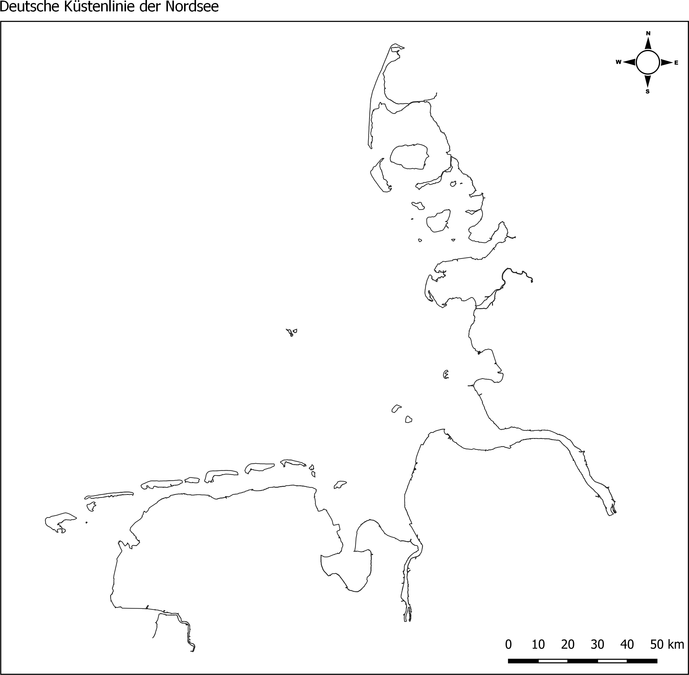
Küstenlinie deutsche Nordsee für WRRL/MSRL von 2017/2018
Die Küstenlinie der deutschen Nordseeküste, erstellt vom Landesamt für Umwelt (LfU) von Schleswig Holstein. Grundlage dafür waren MSRL- und WRRL-Shapefiles der Küsten- Übergangsgewässer. Der Dienst stellt Shapefiles der Küstenlinien für die Nordsee (ANS-DE) und die Ostsee (BAL-DE) aus den abgestimmten und an die EU gemeldeten Berichtsgeometrien für die gesamte deutsche Küste bereit. Hierfür wurden Shapes der MSRL und der WRRL (Küsten- und Übergangsgewässer) genutzt. Die Daten wurden im Dezember 2017 (Ostsee) / bzw. im Januar 2018 (Nordsee) erstellt.
|
|
Citation proposal
(2018) . Küstenlinie deutsche Nordsee für WRRL/MSRL von 2017/2018. Marine Dateninfrastruktur Deutschland (MDI-DE) http://gdk-inspire-1.ffm.gdi-de.org/geonetwork/srv/api/records/c7d748c9-e12f-4038-a556-b1698eb4033e |
INSPIRE
Identification
- File identifier
- c7d748c9-e12f-4038-a556-b1698eb4033e XML
- Hierarchy level
- dataset Dataset
Online resource
Resource identifier
- Metadata language
- German
- Spatial representation type
- Vector
Encoding
- Format
- Shapefiles
- Version
- 1.0
- Format
- GML
- Version
- 1.0
Projection
Classification of data and services
- Topic category
-
- Boundaries
Classification of data and services
Coupled resource
Coupled resource
Classification of data and services
Coupled resource
Coupled resource
Keywords
- GEMET - INSPIRE themes, version 1.0 ( Theme )
-
- Verwaltungseinheiten
- Spatial scope
Other keywords
- Keywords
-
- Basisdienste
- Meeresregionen
- Hydrography
- Gewässernetz
- Sea regions
- coastline
- Küstenlinine
- North Sea
- German Bight
- MDI-DE_Basisdaten
- Keywords
-
- inspireidentifiziert
- Keywords
-
- opendata
- Keywords ( Theme )
-
- ENVI
- Keywords
-
- Deutsche Bucht
- Nordsee
- Küste
Geographic coverage
N
S
E
W
))
N
S
E
W
))
Temporal reference
Temporal extent
Temporal extent
- Date ( Creation )
- 2018-01-02T00:00:00.000+01:00
- Date ( Publication )
- 2018-01-03T00:00:00.000+01:00
Quality and validity
- Lineage
- Datensatz wurde aus mehreren vorhandenen Shapfiles zusammen gesetzt. Zugrunde liegende Datensätze beruhen auf MSRL und WRRL.
Conformity
Conformity
Conformity
Conformity
Conformity
Conformity
- Explanation
- see the referenced specification
Restrictions on access and use
- Access constraints
- Creative Commons Namensnennung 4.0 International
- Access constraints
- Quellenvermerk: Marine Dateninfrastruktur <Jahr des Datenbezugs>
- Access constraints
- {"id":"CC BY 4.0","name":"Creative Commons Namensnennung 4.0 International","url":"https://creativecommons.org/licenses/by/4.0/deed.de","quelle":"Marine Dateninfrastruktur <Jahr des Datenbezugs>"}
Restrictions on access and use
Responsible organization (s)
Contact for the resource
- Organisation name
- Landesamt für Umwelt Schleswig-Holstein (LfU)
- Organisation name
- Marine Dateninfrastruktur Deutschland (MDI-DE)
- info@mdi-de.org
- Organisation name
- Marine Dateninfrastruktur Deutschland (MDI-DE)
- info@mdi-de.org
Responsible organization (s)
Contact for the resource
- Organisation name
- Landesamt für Umwelt Schleswig-Holstein (LfU)
- Organisation name
- Marine Dateninfrastruktur Deutschland (MDI-DE)
- info@mdi-de.org
- Organisation name
- Marine Dateninfrastruktur Deutschland (MDI-DE)
- info@mdi-de.org
Metadata information
Contact for the metadata
- Organisation name
- Marine Dateninfrastruktur Deutschland (MDI-DE)
- info@mdi-de.org
- Date stamp
- 2025-05-26
- Metadata language
- German
- Character set
- UTF8
SDS
Conformance class 1: invocable
Access Point URL
Endpoint URL
Technical specification
Conformance class 2: interoperable
Coordinate reference system
Quality of Service
Access constraints
Limitation
Use constraints
Limitation
Responsible custodian
Contact for the resource
Conformance class 3: harmonized
Overviews
Küstenlinie Nordsee
Provided by

Views
c7d748c9-e12f-4038-a556-b1698eb4033e
Access to the portal
Read here the full details and access to the data.
Associated resources
Not available