 INSPIRE-1
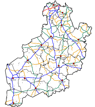
Kompenationsflächen Landkreis Diepholz
Flächenkataster mit den Kompensationsflächen im Landkreis Diepholz ab 02.09.2002; tagesaktuelle Daten; tlw. unvollständig, da Kataster in Bearbeitung; alle sonstigen Informationen werden in der Anwendung GeoWeb für MapAgent - Modul KoKa - geführt. Es werden von allen Bauvorhaben (z.B. BIMSCH, etc.) bei denen der LK DH die Genehmigungsbehörde ist, die Ausgleichsflächen dokumentiert. Der Landkreis Diepholz ist zur Führung eines Kompensationsflächenverzeichniss verpflichtet. Für die Dokumentation/Management der kommunalen Ausgleichsflächen im Rahmen der Bauleitplanung sind die jeweiligen Kommunen verantwortlich. Sie müssen ein eigenes Kataster führen. Die Kommunen sind nicht verpflichtet diese Flächen/Maßnahmen dem Landkreis Diepholz zu melden.
---- Den Downloadservice zu diesem Thema (shp, dxf, dwg) finden Sie unter DOWNLOAD-LINKS ----
|
|
Citation proposal
. Kompenationsflächen Landkreis Diepholz. http://gdk-inspire-1.ffm.gdi-de.org/geonetwork/srv/api/records/d8114d0f-f756-4177-9da7-99bd2e58f4d8 |
INSPIRE
Identification
- File identifier
- d8114d0f-f756-4177-9da7-99bd2e58f4d8 XML
- Hierarchy level
- Dataset
Online resource
Resource identifier
- Metadata language
- German
Encoding
Projection
Classification of data and services
- Topic category
-
- Environment
Classification of data and services
Coupled resource
Coupled resource
Classification of data and services
Coupled resource
Coupled resource
Keywords
- GEMET - INSPIRE themes, version 1.0 ( Theme )
-
- Kompensation
- Kompensationsflächen
- Massnahmen
- Eingriffsregelung
- inspireidentifiziert
- Bewirtschaftungsgebiete/Schutzgebiete/geregelte Gebiete und Berichterstattungseinheiten
- KOKA
- Lebensräume und Biotope
Other keywords
Geographic coverage
))
Temporal reference
Temporal extent
Temporal extent
- Date ( Creation )
- 2002-09-02
Quality and validity
- Lineage
- Landkreis Diepholz, Fachdienst 67 Kreisentwicklung; Bearbeitungsgrundlage: ALKIS
Conformity
Conformity
Conformity
Conformity
Conformity
Conformity
- Explanation
- VERORDNUNG (EG) Nr. 1089/2010 DER KOMMISSION vom 23. November 2010 zur Durchführung der Richtlinie 2007/2/EG des Europäischen Parlaments und des Rates hinsichtlich der Interoperabilität von Geodatensätzen und -diensten
Restrictions on access and use
Restrictions on access and use
Responsible organization (s)
Contact for the resource
- Organisation name
- Landkreis Diepholz
Responsible organization (s)
Contact for the resource
- Organisation name
- Landkreis Diepholz
Metadata information
Contact for the metadata
- Organisation name
- Landkreis Diepholz
- Date stamp
- 2024-05-22
- Metadata language
- German
- Character set
- UTF8
SDS
Conformance class 1: invocable
Access Point URL
Endpoint URL
Technical specification
Conformance class 2: interoperable
Coordinate reference system
Quality of Service
Access constraints
Limitation
Use constraints
Limitation
Responsible custodian
Contact for the resource
Conformance class 3: harmonized
Overviews
Provided by
