 INSPIRE-1
KompensationsInformationsSystem Berlin
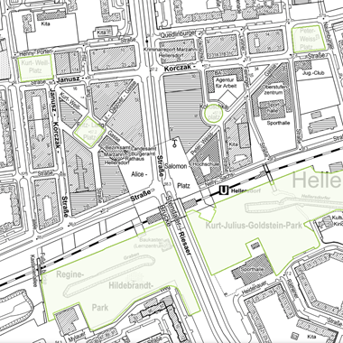
Die Karte zeigt festgesetzte Kompensationsflächen, die im Sinne von § 19 Absatz 4 Naturschutzgesetz Berlin in Verbindung mit § 17 Absatz 6 Bundesnaturschutzgesetz in einem Kompensationsverzeichnis zu führen sind. Zudem werden durch Senatsbeschluss festgesetzte Flächen des Berliner Ökokontos sowie durch die oberste Naturschutzbehörde Berlins anerkannte naturschutzrechtliche Ökokontoflächen dargestellt.
|
|
Citation proposal
(2024) . KompensationsInformationsSystem Berlin. http://gdk-inspire-1.ffm.gdi-de.org/geonetwork/srv/api/records/f501201b-0902-3453-a119-d5a4f4da7600 |
Simple
Identification info
- Date ( Publication )
- 2024-07-03
- Date ( Revision )
- 2024-07-08
- Presentation form
- Digital map
Point of contact
Point of contact
Point of contact
- Maintenance and update frequency
- Biannually
- Keywords ( Theme )
-
- inspireidentifiziert
- open data
- opendata
- Berlin
- Geodaten
- KIS
- Kompensationsflächen
- Eingriff
- Ausgleichsflächen
- Kompensationsflächenkataster
- Ausgleichskataster
- Kompensationsverzeichnis
- Kompensationsmaßnahmen
- Ausgleichsmaßnahmen
- naturschutzrechtlicher Ausgleich
- Ökokonto
- Kompensation
- Ersatzmaßnahme
- Ersatzfläche
- Eingriffsregelung
- bboxbebb
- Keywords
-
- infoMapAccessService
- Access constraints
- Other restrictions
- Use constraints
- Other restrictions
- Other constraints
- Für die Nutzung der Daten ist die Datenlizenz Deutschland - Namensnennung - Version 2.0 anzuwenden. Die Lizenz ist über https://www.govdata.de/dl-de/by-2-0 abrufbar. Der Quellenvermerk gemäß (2) der Lizenz lautet "Geoportal Berlin / [Titel des Datensatzes]".
- Other constraints
- { "id": "dl-by-de/2.0" , "name": " Datenlizenz Deutschland - Namensnennung - Version 2.0 ", "url": "https://www.govdata.de/dl-de/by-2-0", "quelle": "Geoportal Berlin / [Titel des Datensatzes]" }
- Service Type
- view
- Service Version
- OGC:WMS 1.0.0
- Service Version
- OGC:WMS 1.1.0
- Service Version
- OGC:WMS 1.1.1
- Service Version
- OGC:WMS 1.3.0
N
S
E
W
))
- Extent type code
- true
- Geographic identifier
- 110000000000
- Coupling Type
- Tight
Contains Operations
- Operation Name
- GetCapabilities
- Distributed Computing Platforms
- Web services
- Connect Point
- https://gdi.berlin.de/services/wms/kis
- Reference system identifier
- http://www.opengis.net/def/crs/EPSG/0/25833
- Distribution format
-
- Text/HTML (4.01 )
- OnLine resource
-
GetCapabilities Aufruf des WMS mit maschinenlesbarer Antwort
GetCapabilities Aufruf des WMS mit maschinenlesbarer Antwort
- OnLine resource
-
Aufruf des Geoportals Berlin mit Darstellung der Karte und weiterer Metadaten
Aufruf des Geoportals Berlin mit Darstellung der Karte und weiterer Metadaten
- OnLine resource
-
Inhaltliche Beschreibung
Inhaltliche Beschreibung
- OnLine resource
-
Technische Beschreibung
Technische Beschreibung
- Hierarchy level
- Service
- Other
- Dienst
Conformance result
- Date ( Publication )
- 2009-10-20
- Explanation
- see referenced specification
- Pass
- true
gmd:MD_Metadata
- File identifier
- f501201b-0902-3453-a119-d5a4f4da7600 XML
- Metadata language
- German
- Character set
- UTF8
- Hierarchy level
- Service
- Hierarchy level name
- KompensationsInformationsSystem Berlin Dienst
- Date stamp
- 2024-07-31T11:54:48
- Metadata standard name
- ISO 19115/19119 – BE
- Metadata standard version
- 1.0.0
Overviews
Vorschaugrafik

Legende
Provided by

Views
f501201b-0902-3453-a119-d5a4f4da7600
Access to the portal
Read here the full details and access to the data.
Associated resources
Not available