Keyword
Transportation
5 record(s)
Provided by
Type of resources
Available actions
Topics
Keywords
Contact for the resource
Update frequencies
From
1
-
5
/
5
-
-
-

-

INSPIRE theme Water Transport Network (shipping routes). The maritime data of the BSH for INSPIRE Transport Networks describe the water transport network for maritime navigation in the area of responsibility of the Federal Maritime and Hydrographic Agency (BSH) as well as its associated infrastructure facilities.
-

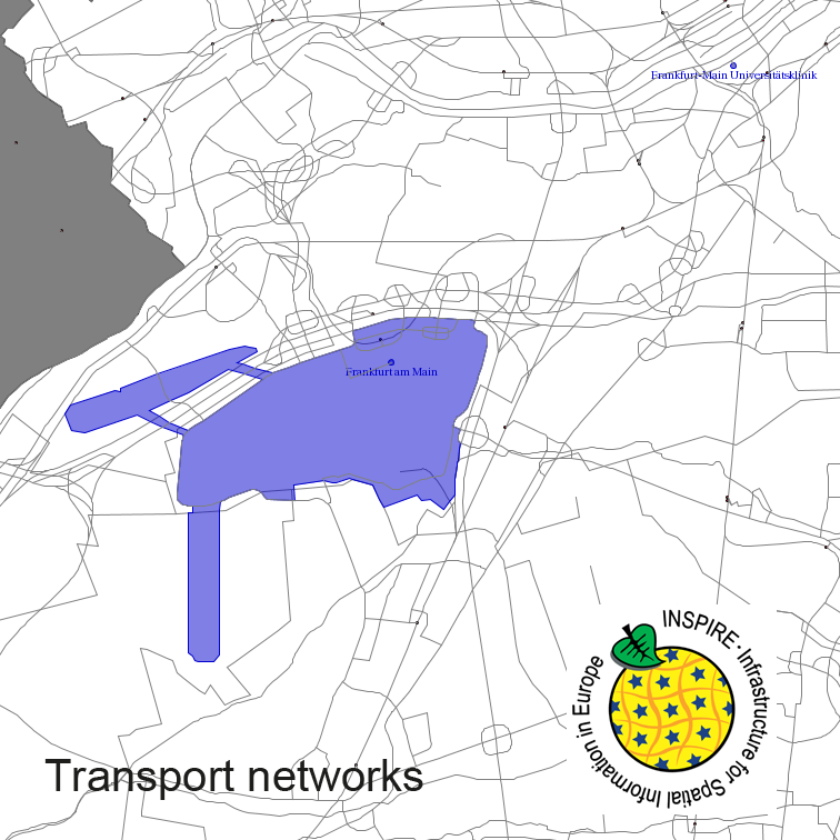
Transport Networks of Germany, derived from the german digital landscape model at scale 1:250000. Mapped via EuroRegionalMap to satisfy INSPIRE and European Location Framework conformance. The dataset contains the road, railway, water and air network and is available as Open Data.
 INSPIRE-1