 INSPIRE-1
Keyword
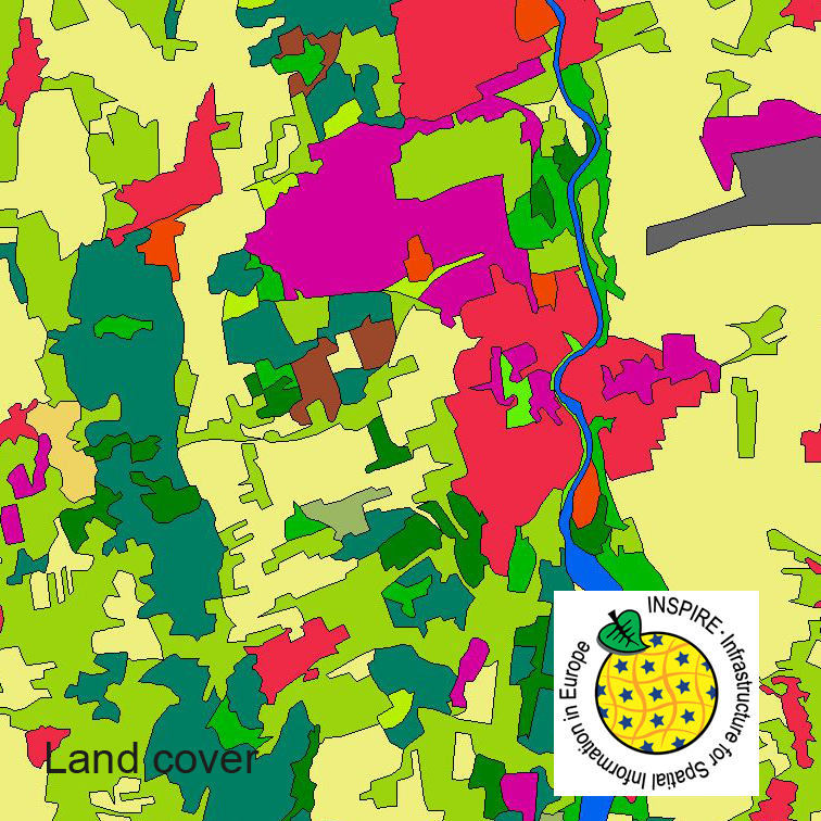
Landnutzung
59 record(s)
Provided by
Type of resources
Available actions
Topics
Keywords
Contact for the resource
Update frequencies
Service types
-
This dataset clc5 (2012) describes the landscape according to the CORINE Land Cover (CLC) nomenclature. These classes contain mainly information about landcover mixed with some aspects of landuse. CLC5 is based on the more detailed German landcover model from 2012 (LBM-DE2012) which uses separate classes for landcover and landuse and attribute-information about percentage of vegetation and sealing. The mimimum unit for an object is 1 ha. For the CLC5 dataset landcover and landuse classes are combined to unique CLC-classes taking into account the percentage of vegetation and sealing , followed by a generalisation process.
-
This dataset clc5 (2015) describes the landscape according to the CORINE Land Cover (CLC) nomenclature. These classes contain mainly information about landcover mixed with some aspects of landuse. CLC5 is based on the more detailed German landcover model from 2015 (LBM-DE2015) which uses separate classes for landcover and landuse and attribute-information about percentage of vegetation and sealing. The mimimum unit for an object is 1 ha. For the CLC5 dataset landcover and landuse classes are combined to unique CLC-classes taking into account the percentage of vegetation and sealing , followed by a generalisation process.
-
This dataset clc5 (2018) describes the landscape according to the CORINE Land Cover (CLC) nomenclature. These classes contain mainly information about landcover mixed with some aspects of landuse. CLC5 is based on the more detailed German landcover model from 2018 (LBM-DE2018) which uses separate classes for landcover and landuse and attribute-information about percentage of vegetation and sealing. The mimimum unit for an object is 1 ha. For the CLC5 dataset landcover and landuse classes are combined to unique CLC-classes taking into account the percentage of vegetation and sealing , followed by a generalisation process.
-
Ronneburg: WMS-Dienst
-
Der interoperable INSPIRE-WMS ist ein Darstellungsdienst, der Daten im INSPIRE-Zielschema Geplante Bodennutzung (abgeleitet aus dem originären Datensatz: Sachlicher Teilplan Grundfunktionale Schwerpunkte der Region Prignitz-Oberhavel) bereitstellt. Er gibt einen Überblick über die grundfunktionalen Schwerpunkte aus dem entsprechenden rechtswirksamen Regionalplan (Rechtsverordnung v. 23.12.2020). Gemäß der INSPIRE-Datenspezifikation für Land Use liegen die Inhalte INSPIRE-konform vor. Der WMS beinhaltet die folgenden Layer: - LU.3_3_SachlicherTeilplanRegionalebene: Ein Sachlicher Teilregionalplan, wie definiert unter https://registry.gdi-de.org/codelist/de.xleitstelle.inspire_plu/PlanTypeNameValue/3_3_SachlicherTeilplanRegionalebene. - LU.7_1_3_AssignmentOfFunctions: Als Funktionen werden Aufgaben bezeichnet, die einzelnen Kommunen oder Regionen durch die Landesraumplanung zugewiesen werden. Ziel ist die funktional/strukturelle (bzw. räumlich/funktionale) Aufgaben- und Arbeitsteilung zwischen den Teilgebietskörperschaften zu koordinieren. --- The compliant INSPIRE-WMS is a view service that delivers data in the INSPIRE target schema Planned Land Use (derived from the original data set: Factual sub plan for basic functional priorities of the Prignitz-Oberhavel region). It provides an overview of the basic functional priorities from the corresponding legally effective regional plan (legal ordinance of December 23, 2020). The content is compliant to the INSPIRE Data Specification on Land Use. The WMS includes the following layers: - LU.3_3_SachlicherTeilplanRegionalebene: A factual sub plan, as defined at https://registry.gdi-de.org/codelist/de.xleitstelle.inspire_plu/PlanTypeNameValue/3_3_SachlicherTeilplanRegionalebene - LU.7_1_3_AssignmentOfFunctions: Tasks assigned specifically to individual municipalities or regions by state spatial planning are referred to as functions. The aim is to coordinate the functional/structural (or spatial/functional) division of responsibilities and labour among component territorial entities.
-

Daten des Landschaftsrahmenplans (LRP) von 2020. Der Landschaftsrahmenplan ist der Fachplan des Naturschutzes und der Landschaftspflege auf der regionalen Ebene. Er hat die Aufgabe, die Ziele des Naturschutzes und der Landschaftspflege, abgeleitet aus dem § 1 des Bundesnaturschutzgesetzes, für den Landkreis Nienburg/Weser darzustellen und die Erfordernisse und Maßnahmen, die zur Verwirklichung dieser Ziele beitragen können, aufzuzeigen. Der Landkreis Nienburg/Weser hat den nach § 10 des Bundesnaturschutzgesetzes geforderten Landschaftsrahmenplan neu aufgestellt. Der Landschaftsrahmenplan (LRP) unterliegt den gesetzlichen Anforderungen des Gesetzes über die Umweltverträglichkeitsprüfung (UVPG in der Fassung bis 15.05.2017) und des Niedersächsischen Gesetzes über die Umweltverträglichkeits-prüfung (NUVPG) und damit gemäß § 9 Abs. 1 Nr. 1 i.V.m. der Anlage 3 Nr. 1.2 NUVPG der Durchführung einer Strategischen Umweltprüfung. Gemäß § 14 l Abs. 1 UVPG ist der neu aufgestellte Landschaftsrahmenplan 2020 öffentlich bekannt zu machen und zur Einsicht auszulegen. Diese Auslegung erfolgte vom 31.08. bis 01.10.2020.
-
Der interoperable INSPIRE-WFS ist ein Downloaddienst, der Daten im INSPIRE-Zielschema Geplante Bodennutzung (abgeleitet aus dem originären Datensatz: Rechtswirksame Braunkohlenpläne Brandenburg) bereitstellt. Er gibt einen Überblick über Ansiedlungsstandorte, Abbaubereiche, Sicherheitszonen und Flächennutzungen der Bergbaufolgelandschaft aus dem rechtswirksamen Braunkohlenplan Tagebau Welzow-Süd räumlicher Teilabschnitt II (Rechtsverordnung v. 02.09.2014). Gemäß der INSPIRE-Datenspezifikation für Land Use liegen die Inhalte INSPIRE-konform vor. Der WFS beinhaltet die folgenden FeatureTypes: - Amtliche Dokumentation (plu:OfficialDocumentation): Die amtliche Dokumentation, aus der sich der räumliche Plan zusammensetzt. Sie kann aus den geltenden Rechtsvorschriften, Verordnungen, kartografischen Elementen oder beschreibenden Elementen bestehen, die mit dem gesamten räumlichen Plan verknüpft sein können, einem Zonierungselement oder einer ergänzenden Vorschrift verknüpft sein können. - Räumlicher Plan (plu:SpatialPlan): Ein Dokumentensatz, der eine strategische Ausrichtung für die Entwicklung eines bestimmten geografischen Gebiets abbildet, indem die Grundsätze, Prioritäten, Programme und Flächennutzung zur Umsetzung der strategischen Ausrichtung dargelegt werden, die eine räumliche Verteilung von Menschen und deren Handlungsfeldern in unterschiedlichen Maßstäben beeinflussen. - Ergänzende Vorschrift (plu:SupplementaryRegulation): Ein Geo-Objekt (Punkt, Linie oder Polygon) eines räumlichen Plans, das ergänzende Angaben und/oder Beschränkungen hinsichtlich der Nutzung von Land/Wasser bereitstellt, notwendig aus planerischer Motivation oder zur Formalisierung der in einem Rechtsakt festgelegten Regeln. --- The compliant INSPIRE-WFS is a download service that delivers data in the INSPIRE target schema Planned Land Use (derived from the original data set: Lignite mining plan Cottbus-North in Brandenburg). It provides an overview of settlement sites, mining areas, safety zones and land uses of the post-mining landscape from the legally effective lignite mining plan Welzow-South spatial sector II open-cast mine (statutory ordinance of 02.09.2014). The content is compliant to the INSPIRE Data Specification on Land Use. The WFS includes the following FeatureTypes: - Official cocumentation (plu:OfficialDocumentation): The official documentation that composes the spatial plan; it may be composed of the applicable legislation, the regulations, cartographic elements, descriptive elements that may be associated with the complete spatial plan, a zoning element or a supplementary regulation. - Spatial plan (plu:SpatialPlan): A set of documents that indicates a strategic direction for the development of a given geographic area, states the policies, priorities, programmes and land allocations that will implement the strategic direction and influences the distribution of people and activities in spaces of various scales. - Supplementary regulation (plu:SupplementaryRegulation): A spatial object (point, line or polygon) of a spatial plan that provides supplementary information and/or limitation on the use of land/water, necessary for spatial planning reasons or to formalise external rules defined in legal text.
-
Der interoperable INSPIRE-Datensatz beinhaltet Daten der Regionalen Planungsgemeinschaft Lausitz-Spreewald über den rechtswirksamen "Sachlichen Teilregionalplan II Gewinnung und Sicherung oberflächennaher Rohstoffe" der Region Lausitz-Spreewald (Rechtsverordnung v. 26.08.1998), transformiert in das INSPIRE-Zielschema Geplante Bodennutzung. Der Plan beinhaltet Vorrang- und Vorbehaltsgebiete für die oberflächennahen Rohstoffe zur Sicherung der Nutzung von Kiesen, Sanden, Tonen, Torf und Hartgesteinen vor entgegenstehenden Nutzungen in der Region. Die Region umfasst die Landkreise Dahme-Spreewald, Elbe-Elster, Oberlausitz-Spreewald, Spree-Neiße und die kreisfreie Stadt Cottbus. Der Datensatz wird über je einen interoperablen Darstellungs- und Downloaddienst bereitgestellt. --- The compliant INSPIRE data set contains data about priority and reservation areas for near-surface raw materials of the Lausitz-Spreewald region (legal ordinance of August 26,1998) from the regional planning community Lausitz-Spreewald, transformed into the INSPIRE target schema Planned Land Use. The plan controls the securing of gravel, sand, clay, peat and hard rock in the region. The region includes the districts of Dahme-Spreewald, Elbe-Elster, Oberlausitz-Spreewald, Spree-Neisse and the independent city of Cottbus. The data set is provided via compliant view and download services.