Service type
download
114360 record(s)
Provided by
Type of resources
Available actions
Keywords
Contact for the resource
Update frequencies
Service types
-
Download service (WFS)
-
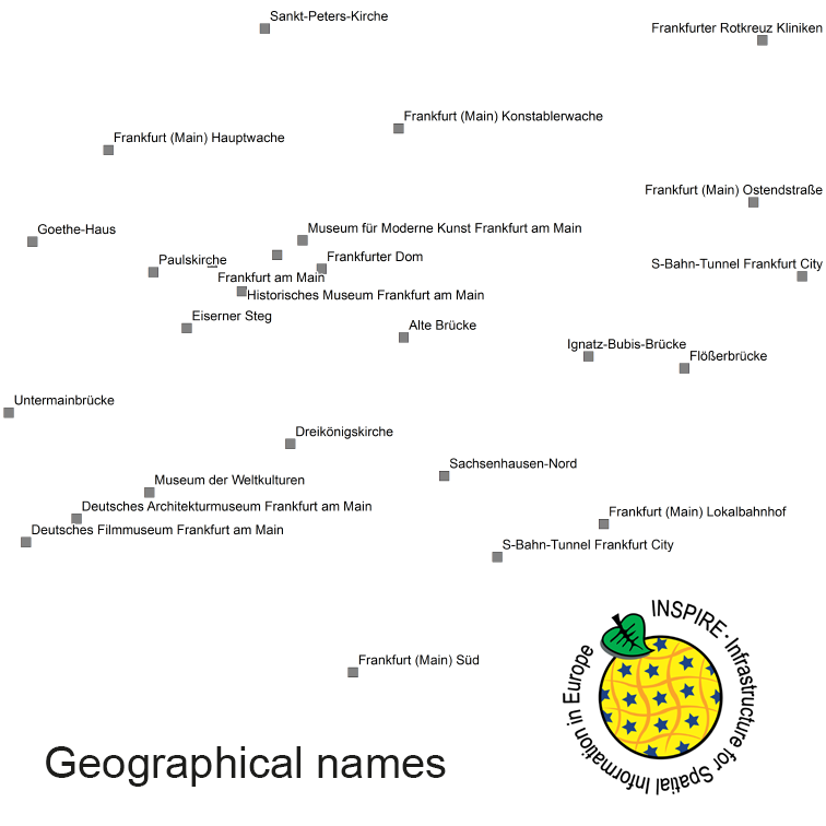
INSPIRE Direct Access Download Service for geographical names of municipalities or parts thereof, landscapes, mountain ranges, mountains, islands, rivers, canals, lakes, seas, etc. Data is provided for the Federal Republic of Germany. The dataset is structured according to the INSPIRE Annex I Theme - Geographical Names. The selection of the geographical names is based on the map scale 1:250.000 and is derived from different statistical sources, Digital Landscape Models 1:250.000 (DLM250) and Digital Elevation Model grid width 10 m (DGM10). This service is published under the Ordinance to Determine the Conditions for Use for the Provision of Spatial Data of the Federation (GeoNutzV) and thereof free of charge.
-
This Downloadservice contains point locations of near-surface mineral raw material occurrences and mining sites in Baden-Württemberg (BW), which is one of 16 states of the Federal Republic of Germany. The information is harmonized according to the specifications of the MIN4EU database model as part of the Mintell4EU project. BW is rich in near-surface mineral raw materials. The most important are 1) Quaternary sands and gravels (Upper Rhine Graben Valley and glacial sediments of Upper Swabia), 2) Paleozoic rocks (mainly metamorphic rocks and granites, minor Permian volcanic rocks) in the Black Forest and the Odenwald, and 3) Middle Triassic (Southwest German scarplands) and Upper Jurassic (Swabian Alb) limestones. The deep-lying raw materials (various gangue ores, barite, fluorite, uranium ores), which were mined mainly in the Black Forest, are currently of no importance, with the exception of the still ongoing extraction of barite and fluorite in the Clara mine. In the future, some deposits could regain importance as raw material prices rise. Almost 100 million tons of mostly near-surface mineral raw materials are extracted annually in BW in currently about 500 mining sites (survey year: 2017). The annual raw material consumption is approx. 9 tons/inhabitant. At the beginning of the 2000s, there were still around 630 mining sites. This decline is due to both concentration processes and depletion of deposits. Since the end of the 1980ies the geological, areal and production data of operating mining sites have been collected systematically by LGRB. They are the basis for the periodic raw material report edited by LGRB and for the calculation of the need of mineral raw materials. Manly these pits, beside some important historic mines, are shown in the layer "MIN4EU LGRB-BW: mining sites - harmonized dataset". Another important task of the LGRB is to advise the regional planning authorities on securing mineral raw material supply. Beside the calculation of the need of mineral raw materials supply for the two planning periods (2 x 15 or 2x 20 years), the knowledge of mineral occurrences of proven or estimated economic value is important. After some preliminary stages, the LGRB is producing the Map of Mineral Resources in Baden-Württemberg 1 : 50,000 (KMR 50) as a basis and planning map for this purpose. On it, the distribution of near-surface mineral raw material prospects and occurrences (mainly) and deposits (subordinate) is shown. This continuously completed and updated map currently covers actually around 60% of the federal state. These occurrences are the topic of the second layer theme "MIN4EU LGRB-BW: near-surface mineral raw material occurrences - harmonized dataset".
-
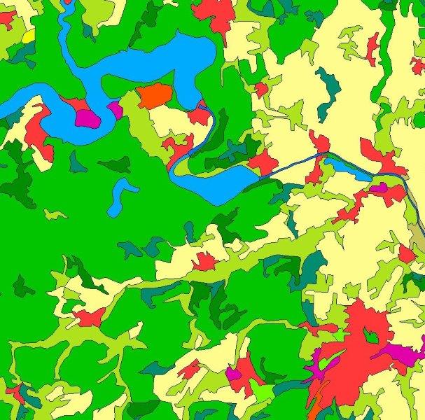
INSPIRE Direct Access Download Service for CORINE Land Cover – 5ha. This service provides from CORINE Land Cover 5ha (CLC5) transformed datasets for the INSPIRE theme Land Cover. The data provided through this service covers the area of Germany.
-

INSPIRE Direct Access Download Service for CORINE Land Cover – 5ha. This service provides from CORINE Land Cover 5ha (CLC5) transformed datasets for the INSPIRE theme Land Cover. The data provided through this service covers the area of Germany.
-
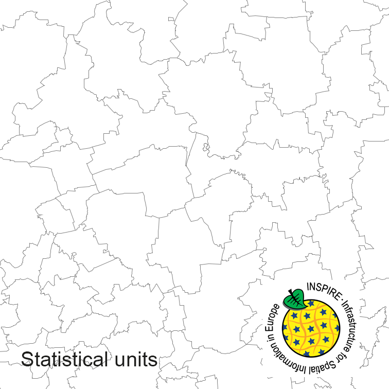
INSPIRE Direct Access Download Service for Statistical Units ATKIS-DLM250. Statistical units of Germany, derived from the german digital landscape model at scale 1:250000. Mapped via EuroBoundaryMap to satisfy INSPIRE conformance. This service is published under the Ordinance to Determine the Conditions for Use for the Provision of Spatial Data of the Federation (GeoNutzV) and thereof free of charge.
-

INSPIRE Direct Access Download Service for CORINE Land Cover – 5ha. This service provides from CORINE Land Cover 5ha (CLC5) transformed datasets for the INSPIRE theme Land Cover. The data provided through this service covers the area of Germany.
-
Download service (ATOM feed)
-
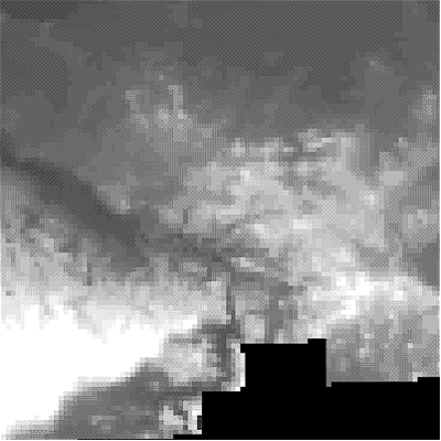
INSPIRE Download Service for Digital Terrain Model Grid Width 200 m (DGM200). The Digital Terrain Model DGM200 describes the terrain forms of the earth’s surface by means of a point quantity arranged in a regular grid, which is georeferenced to planimetry and altimetry. The grid width is 200 m. The data provided through this service covers the area of Germany. Scale: 1:200000 ; Erläuterung zum Fachbezug: WCS Service
-
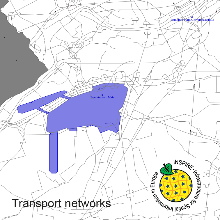
This service provides from Digital Landscape Model 1:250 000 (ATKIS DLM250) transformed datasets for the INSPIRE themes Transport Networks, Hydrography (Networks and Physical Water), Administrative Units and Protected Sites. The data provided through this service covers the area of Germany.
 INSPIRE-1