 INSPIRE-1
cl_maintenanceAndUpdateFrequency
annually
478 record(s)
Provided by
Type of resources
Available actions
Topics
Keywords
Contact for the resource
Update frequencies
Service types
-

Statistical units of Germany, derived from the german digital landscape model at scale 1:250000. Mapped via EuroBoundaryMap to satisfy INSPIRE conformance. The dataset is available as Open Data.
-

The INSPIRE-conform dataset geographical names Germany is the base for an INSPIRE-conform Web Feature Service (WFS) and Web Map Services (WMS). The dataset includes all relevant feature types from the digital landscape model scale 1:250.000 (DLM250): settlements, transportation, vegetation, hydrography, areas and regions with attributes regarding position (geometry data from DLM250), status and language of the geographical name.
-
-
-
-
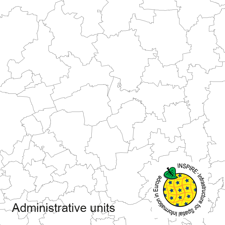
Administrative units of Germany, derived from the german digital landscape model at scale 1:250000. Mapped via EuroBoundaryMap to satisfy INSPIRE and European Location Framework conformance. The dataset is available as Open Data.
-
-
-
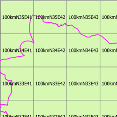
Das Geographische Gitter verschiedener Kachelgrößen für das Gebiet der Bundesrepublik Deutschland ist Teil eines europaweit einheitlichen Geographischen Gitters nach INSPIRE-Vorgaben. Es dient der Darstellung und Analyse statistischer Sachverhalte. Die Gitter werden in quadratischen Zellgrößen vom 100 m, 250 m, 500 m, 1 km, 5 km, 10 km und 100 km in der flächentreuen Lambertprojektion ETRS89-LAEA (EPSG:3035) bereitgestellt. Die Gitterzellen tragen Attribute mit den Flächenanteilen von Staat, Land und Wasser. Die Gitter der Auflösungen 100 m und 250 m weisen darüber hinaus den Amtlichen Gemeindeschlüssel (AGS) der flächenmäßig dominierenden Gemeinde aus.
-

Der Dienst stellt Informationen zur Orthofotografie im Freistaat Sachsen bereit. Es werden Digitale Orthofotos (DOP) angeboten. Weitere Informationen finden Sie unter: https://www.geodaten.sachsen.de/luftbild-produkte-3995.html.