cl_maintenanceAndUpdateFrequency
irregular
13647 record(s)
Provided by
Type of resources
Available actions
Topics
Keywords
Contact for the resource
Update frequencies
Service types
-

The digital terrain model of waterways for the estuary of river Elbe (DGM-W 2022) in high resolution based on airborne laser scanning and echo sounder data is produced and published by the German Federal Waterways and Shipping Administration (Wasserstraßen- und Schifffahrtsverwaltung des Bundes, WSV). The data includes the Outer Elbe and the tidally influenced tributaries and branches of the Elbe estuary upstream to the town Geesthacht. The data is available in a raster resolution of 1 meter. Coordinate reference system: EPSG 25852, ETRS89 / UTM Zone 32N Elevation reference system: DHHN2016, NHN Survey methods: Airborne laser scanning (ALS) 02.04.2022 - 19.04.2022 Multibeam echo sounder, single beam echo sounder 09.02.2017 - 09.04.2023 It is strongly recommended to use the data source map for quality assessment.
-

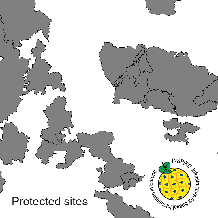
Protected Sites of Germany, derived from the german digital landscape model at scale 1:250000. Mapped via EuroRegionalMap to satisfy INSPIRE and European Location Framework conformance. The dataset is available as Open Data.
-

The digital terrain model of waterways for the estuary of river Elbe (DGM-W 2016) in high resolution based on airborne laser scanning and echo sounder data is produced and published by the German Federal Waterways and Shipping Administration (Wasserstraßen- und Schifffahrtsverwaltung des Bundes, WSV). The data includes the Outer Elbe and the tidally influenced side branches of the Elbe estuary upstream to the town Geesthacht. The data is available in a raster resolution of 1 meter. Coordinate reference system: EPSG 25852, ETRS89 / UTM Zone 32N Elevation reference system: DHHN92, NHN Survey methods: Airborne laser scanning (ALS) 02. - 04.2016 Multibeam echo sounder, single beam echo sounder 2015-2017 It is strongly recommended to use the data source map for quality assessment.
-
INSPIRE View Service for Digital Terrain Model Grid Width 200 m (DGM200). The Digital Terrain Model DGM200 describes the terrain forms of the earth’s surface by means of a point quantity arranged in a regular grid, which is georeferenced to planimetry and altimetry. The grid width is 200 m. The data provided through this service covers the area of Germany. Ground resolution: 200m
-
-
Südliche Hauptstraße
-
Bebauungsplan "Baugebiet in Flur 3 und 4 (Im Steitz)" der Gemeinde Woppenroth
-
Bebauungsplan Weiler, Ortsgemeinde Nickenich
-
Bebauungsplan -Am Schlossberg- der Ortsgemeinde Gau-Heppenheim
-
Bebauungsplan "Baugebiet IV" der Gemeinde Riesweiler
 INSPIRE-1